Coastal observation
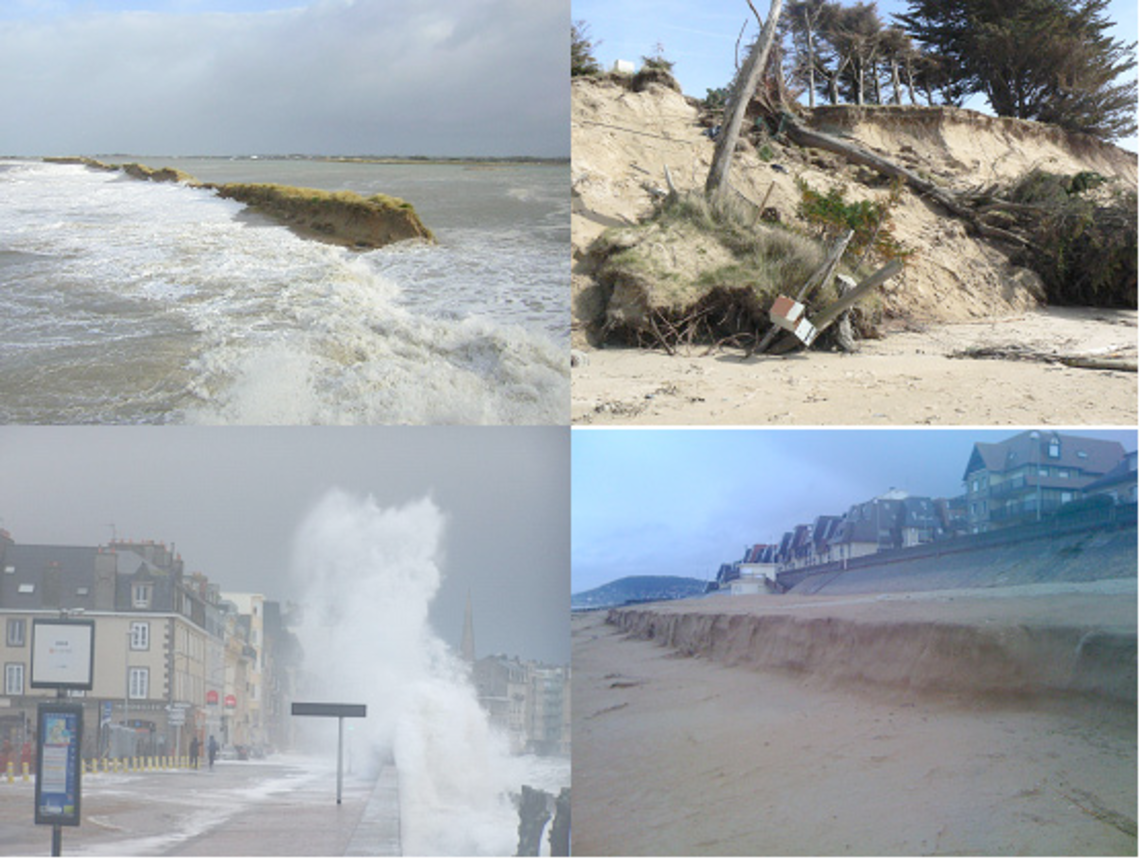
The coastal zone is a vulnerable area and will be subject to major challenges in the coming years, due in particular to climate change (sea level rise, increasingly intense and more frequent storms).
Coastal areas, and particularly the coastline, can evolve rapidly, with areas of erosion of sometimes several meters per year for soft-soil coasts. The increased assaults of the sea during storms amplify the intensity of erosion and can cause submersions in low areas potentially damaging to the local population and economy. Long-term observation of the evolution of this area is therefore a major issue in which the UMR Geo-Ocean, in close collaboration with the Geomer laboratory, is fully involved through the SOERE Observation and Experimental Systems, in the long term, for environmental research «Trait de côte» certified by Allenvi in 2010.
The SOERE “Coastline” is a multi-site, integrated observation network on the three French metropolitan coastal facades. It is managed by the universities of Brest, Caen and Montpellier, in collaboration with regional academic and public partners (General Councils, Regional, Dreal, DDTM, etc.).
- The objective is to sustain the long-term time series, harmonize the observation strategies between laboratories, implement modern means of measurement for an integrated observation of the evolution of the object «coastline» and fundamental dynamic forcing parameters.
Coastal topography data, transformed into Digital Field Models (DFM), provide basic information for the development of numerical or even physical models in order to undertake prospective research on the fate of coastal systems. The measurements carried out are mainly topographical, bathymetric, sea level measurements carried out with laboratory means:
- Multi-beam Acoustic Sounders (SMF)
- Terrestrial Laser Scanner (TLS or Lidar)
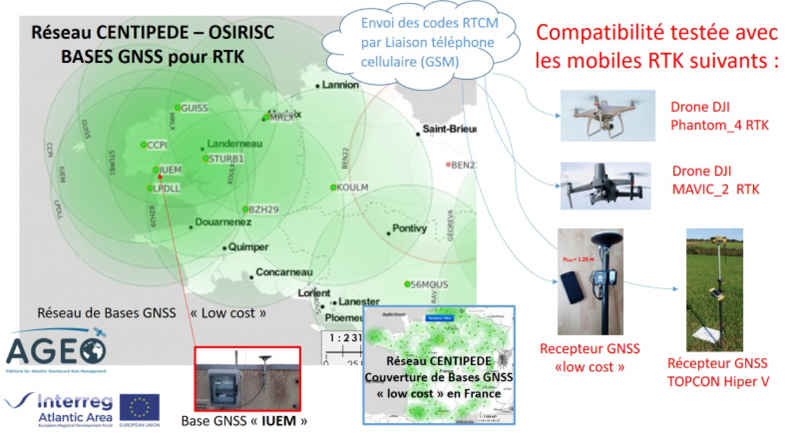
- Topography equipment (differential GPS)
- Onboard instruments and DRELIO imaging drone


