MAHY - The Mayotte volcano hydroacoustic observatory
A new underwater volcano was discovered in 2019 by 3500-meter water depth, 50 km east of the Mayotte archipelago in the Mozambique Channel. The Mayotte volcanological and seismological monitoring network was set up to monitor the sub-marine activity of the volcano and the intense ongoing seismic crisis that began in May 2018.
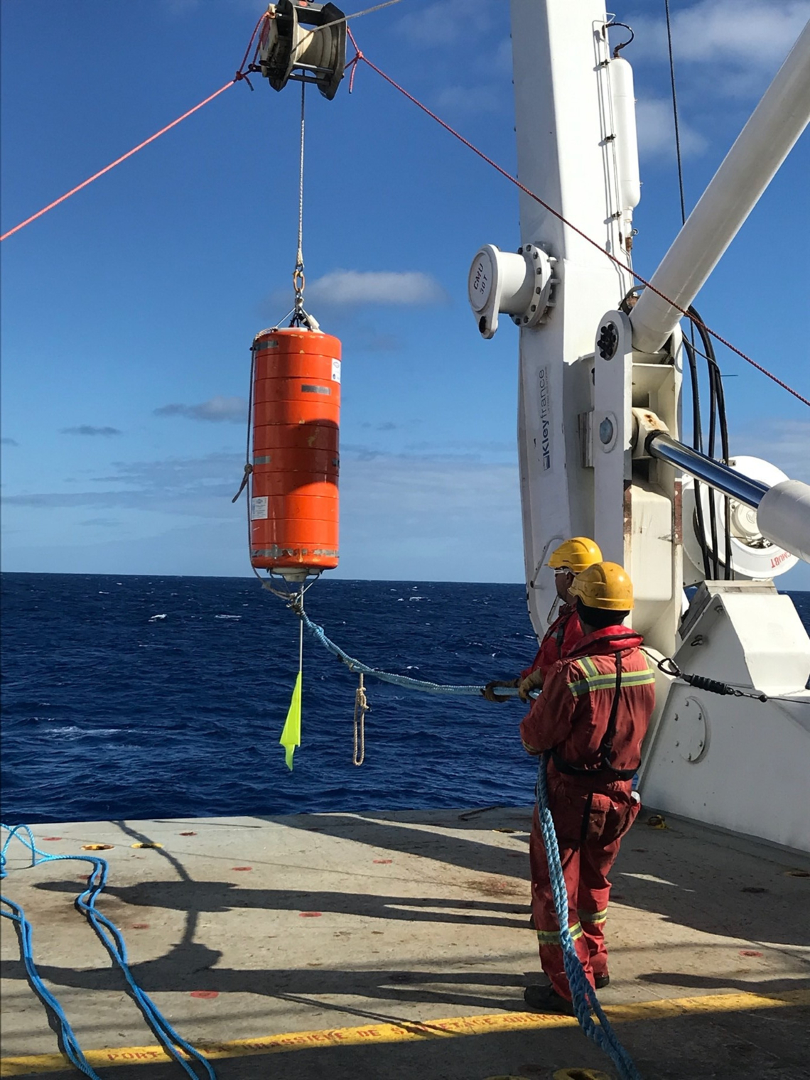
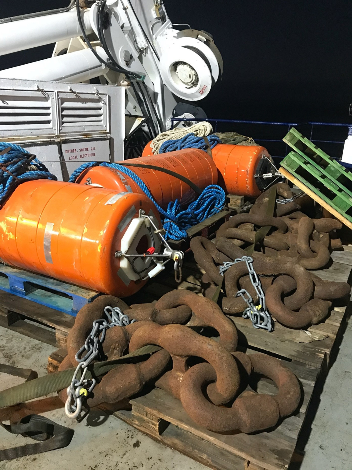
In October 2020, four autonomous hydrophones were moored around the volcano in the Sound Fixing and Ranging (SOFAR) channel. Their main mission is to record the sounds generated by sub-marine volcanic activity, especially that of the eruption of lava flows.
Several sources of hydroacoustic waves have already been identified: earthquakes, underwater landslides, different marine mammal soundings and anthropogenic sound. Impulsive events, that we believe to be steam bursts associated with lava effusion, were also detected.
Collaboration
The Mayotte volcanological and seismological monitoring network (REVOSIMA), is operated by IPGP (Institut de Physique du Globe de Paris, French Geoscience Institute) in collaboration with BRGM, (French Geological Survey); under the responsibility of the Volcanological Observatory of Piton de la Fournaise (OVPF-IPGP) and the regional office of BRGM in Mayotte.
The data collected by the network is processed by a large consortium of French scientific partners:
Ifremer, CNRS, IPGP, BRGM, IPGS, IGN, ENS, SHOM, Météo France, CNES, ISTerre, UCA, Université de La Réunion, IRD, ULR, IUEM/UBO.
And entirely state-funded:
- Ministry for Higher Education and Research,
- Ministry of Ecological Transition and Territorial Cohesion, Ministry of Energy Transition,
- Ministry of Home Affairs,
- Ministry of Overseas Territories.
The hydrophones were financed by State-Region Project Contracts in the field of Ocean Observation (contract references ODO & O3DO).
The study site
In October 2020, during the MD228 / MAYOBS15 campaign, IUEM moored four hydrophones in the SOFAR channel (a layer of water in the ocean at which the speed of sound is at its minimum and at a depth of around 1300 metres, it acts as a waveguide for sound).
This network, named MAHY, forms a quadrilateral of about 70 km on each side, centered 50 km around the new volcano. Its aim is to record the sounds associated with volcanic flows and explosions.
- A first hydrophone rotation in April 2021 during the MAYOBS18 campaign aboard the R/V PourquoiPas? recorded the first 6 months;
- A second rotation in October 2021 during the MAYOBS21 campaign the following 6 months;
- Pursued by a third rotation in July 2022 during the MAYOBS23 campaign.
The next rotation is scheduled for summer 2023.
Monitoring
Thanks to the recordings of the four hydrophones (continuous acoustic recordings with a 250Hz sampling), we are able to define and monitor the evolution of the low frequency oceanic ambient noise, generated by seismic and volcanic activity, but also that generated by large marine mammals and ships.
An inventory of the types of hydroacoustic signals detected is in progress.
Initial analyses show that impulsive hydroacoustic signals are associated with the eruptive flow northwest of the volcano, filmed in October 2020 (Bazin et al., 2022).
An automated data processing method using artificial intelligence is under development (Raumer et al., 2023).
Sounds associated with whales are analysed by ENSTA-Bretagne and IPGP on behalf of the Parc Naturel Marin de Mayotte.
Contacts :
Sara Bazin, UMR Geo-Ocean, group ALMA
Jean-Yves Royer, UMR Geo-Ocean, group ALMA


